Surveying and Mapping with Drones
Credit: 1 PDH Hours
Course Fee: $12.00
9 pages
How it Work!
- Register first and log into your account. Study and take the quiz for FREE until passed.
- After passing the quiz, follow the page, pay for the course and print your certificate.
Course Summary:
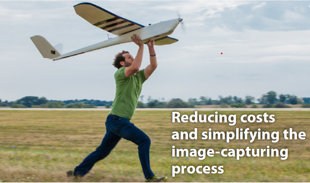
What’s more, UAVs can improve data collection accuracy and efficiency, optimize a workflow while also enabling the production of cost-effective turnkey DSM’s whenever they’re needed. Simply put, UAVs can make it far easier to gather the info needed to create maps by reducing costs and simplifying the image-capturing process. However, right now the application of drones in the field is very much a niche endeavor, and that is mostly due to FAA restrictions. Most of the people doing UAV-based mapping are doing things that would have been on the fringe of what was already being done, because that’s the only work that can be done by professionals, even if they’ve received their 333 Exemption.

Learning Objective:
In this PDH or CE course the attendee will learn that the combination of technology tools that drones enable is clearly the biggest selling point. UAVs can be utilized along with photogrammetry, point cloud and conversion of point cloud data, to re¬define service offerings. Before that can fully happen though, FAA regulations need to be sorted out.
Review the quiz before studying the course.
Course Content
Course Author: Franco F. Davati, P.E.
Certificate of completion of the course
This course comes with a multiple-choice quiz. You can view the quiz and take the quiz if you are logged in your account. You can take the quiz for this online PDH course as many times until passed. The passing grade is 70% and above. After you pass the quiz simply follow the page, to pay for the course and print your certificate instantly. A copy of the certificate and receipt for this course will always be in your account.
This online PDH course can also be used as a continuing education course for the following.
